Sudden Valley
In the spirit of the traditional back country Christmas, here we go on the long postponed trip to Sudden Valley and Tarn Col. This rugged country requires really settled weather. But first... a couple of shots that escaped the last writeup.
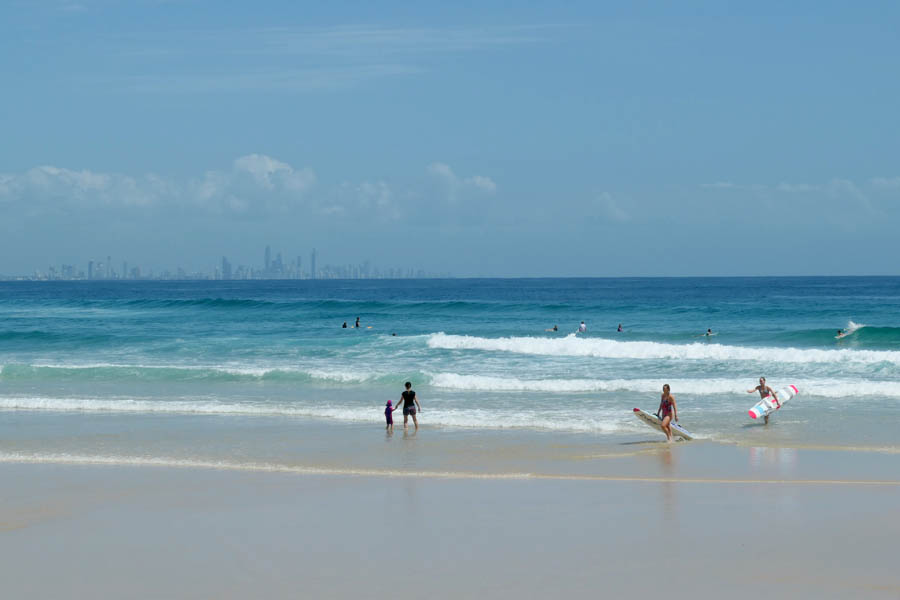
Gold Coast beach with Surfers Paradise in the background. The stuff of postcards, but its actually like that.
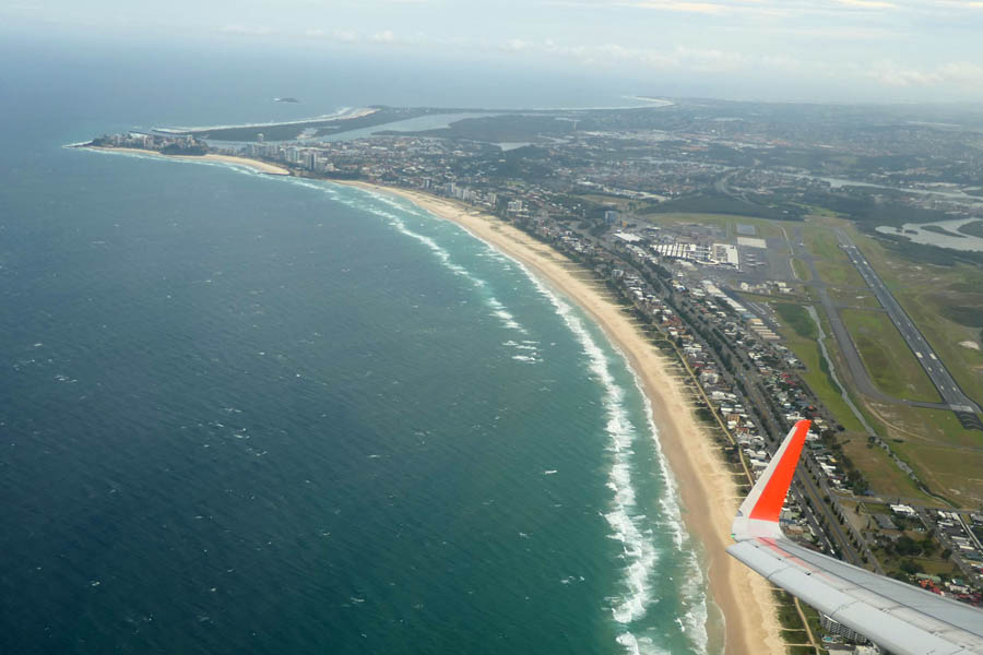
From above, Coolangatta and the little Gold Coast airport, which for reasons no one completely understands is the cheapest place to fly into in the south pacific. Oh well, the water was warm and the stopover much therapeutic.
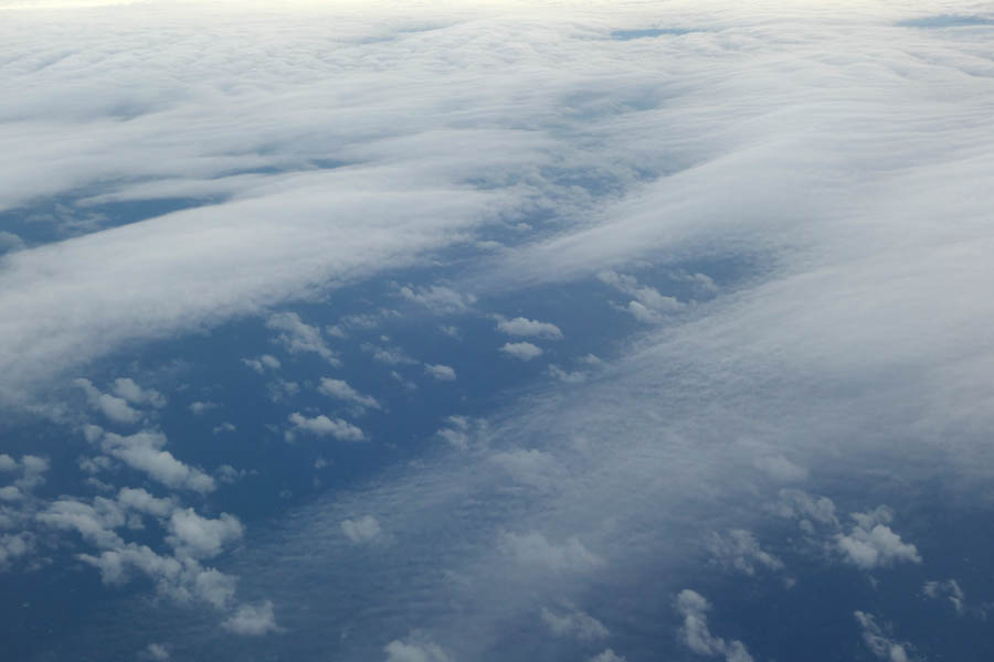
There are some interesting cloud layers today.
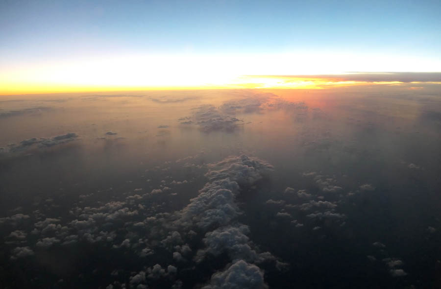
And sunset at 36K feet.
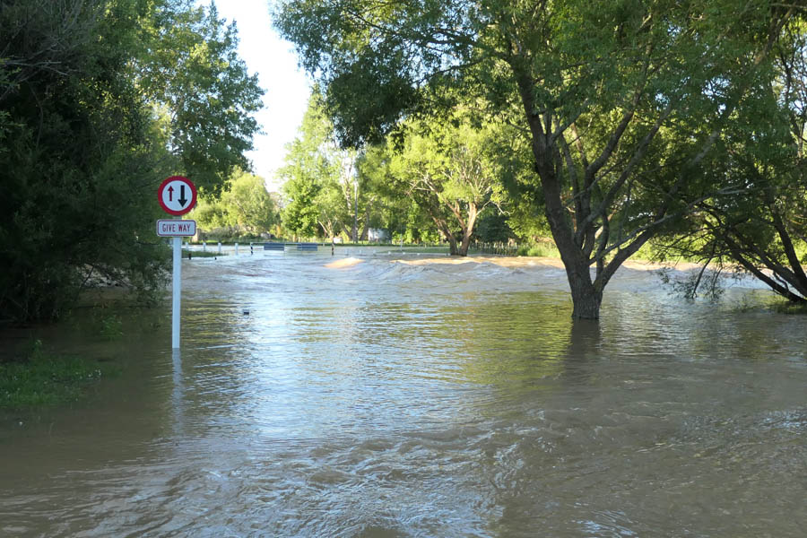
Back home in Canterbury, this is what a flooded Coes Ford looks like. At least a meter of water over the road. Been some serious rain up in the hills.
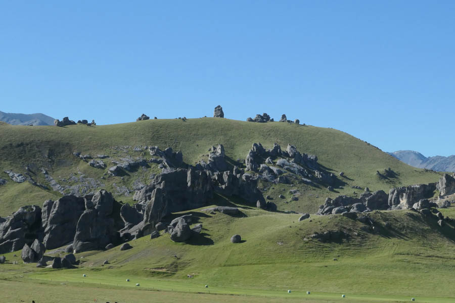
With tramping stuff for 4 days packed, headed west to the mountains. Castle Hill limestone. The forecast is for cloudy with the odd shower.
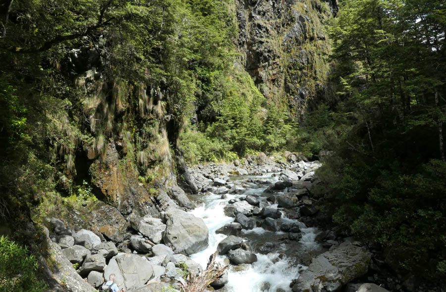
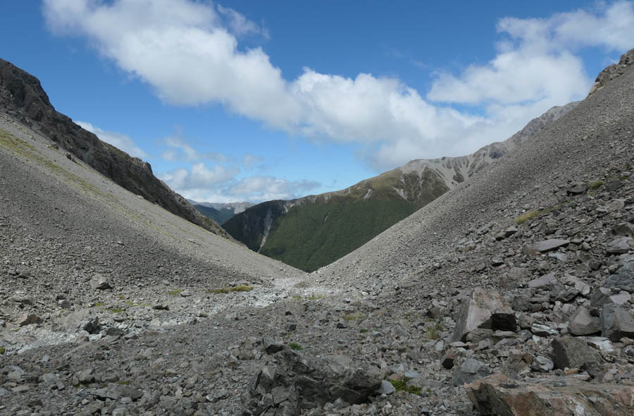
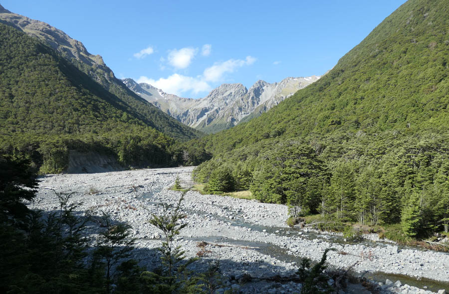
This is Sudden Valley, named because it suddenly closes into the gorge seen here. Its reasonable travel, even if the river is a little slippery.
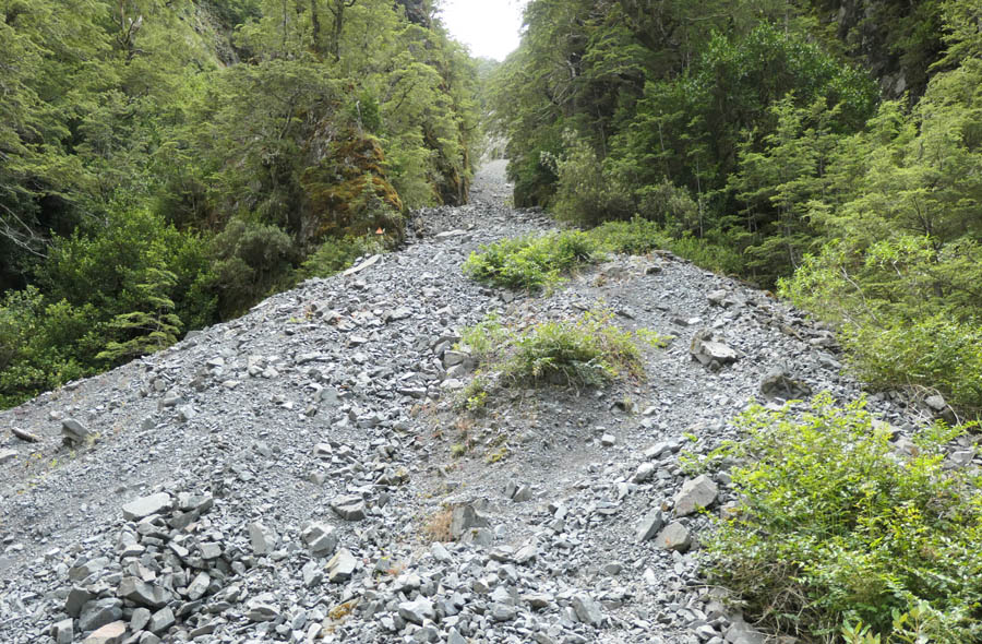
Devils Chute is a scree filled gut that is used to bypass Barrier Falls. Its straightforward to ascend.
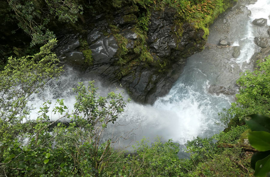
At the top of the falls, dont ask how i got this shot, its definitely not for those with vertigo.
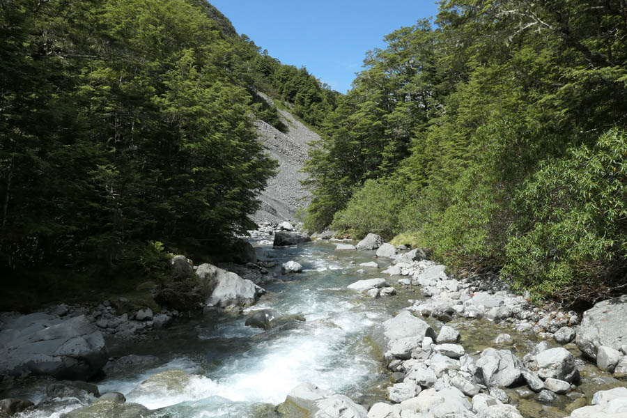
Sudden Valley rock hopping. Theres no goat trail, nothing, just splosh and splash to your hearts content. I have the pleasure of the company of two Cantabrian gents for the journey in. Also out for an alternative Christmas day adventure.
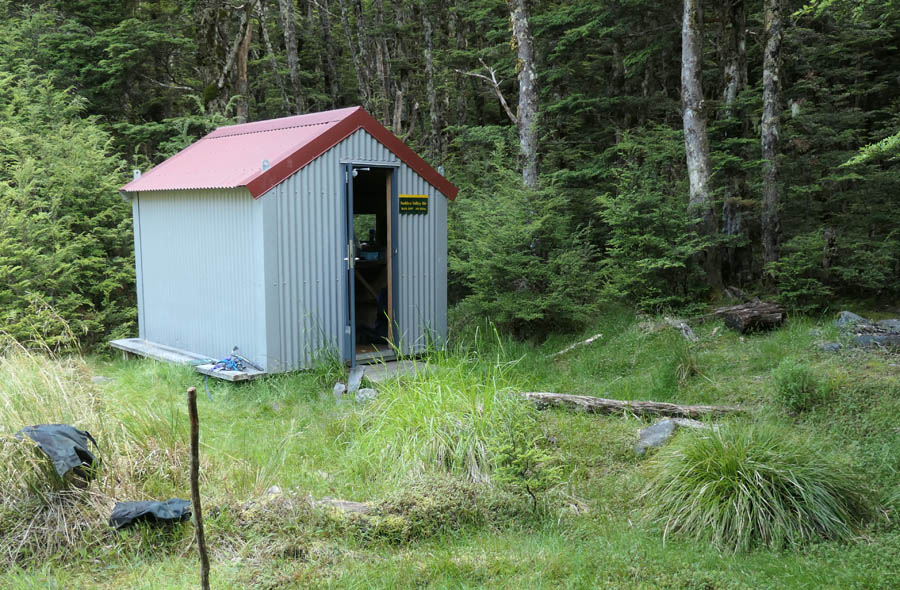
After 3 hours or so you arrive at the bivy. Replaced in 2007, the 2 bunk hut gets used by on average 25 parties per year. The hut, clearly prefabricated and flown in, while having the disadvantage of having windows facing odd directions, also has the advantage of being readily relocatable in the advent of the river changing course. Out here though, the shelter is a luxury for which one is always grateful.
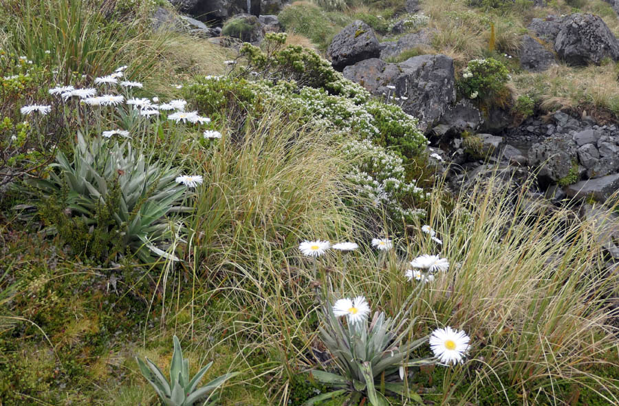
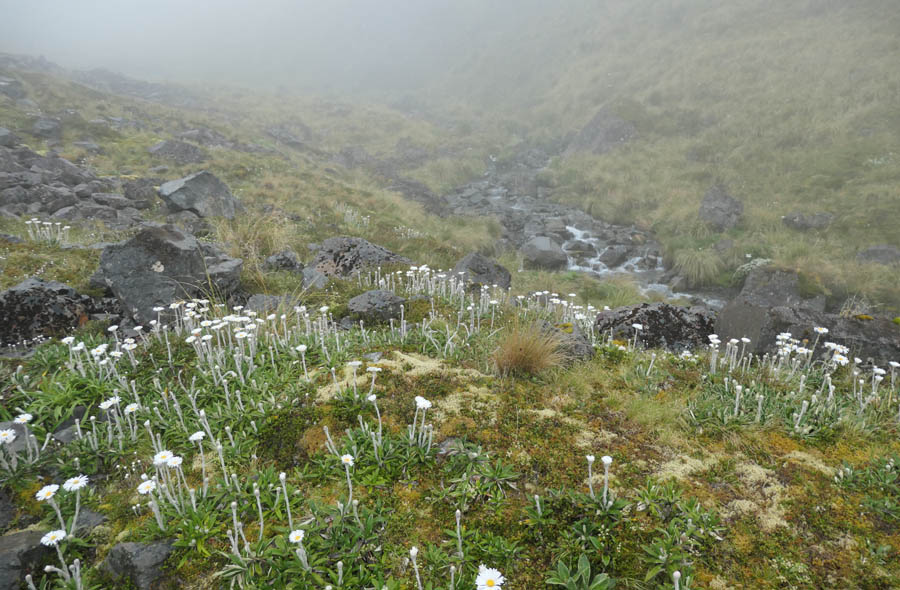
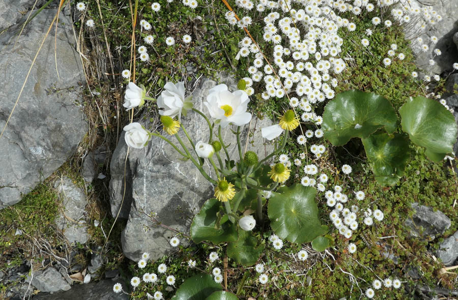
Wild flower season is still hanging in, and there's a veritable plethora of white flowered daisies and buttercups. This one is generally known as Mountain Daisy (Celmisia), and was used extensively in pre-european times for rain cape construction, the waxy leaves having waterproof properties.
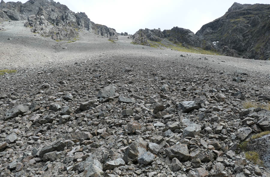
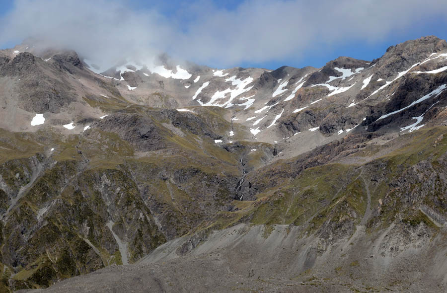
This is taken in the headwaters of the Sudden. Away at dawn, i am on route to the Hawdon via a traverse of the Polar Range and Discovery Creek (a route outlined in Brabyn 2004). The weather is low cloud / misty. Theres a 700m vertical scree slide to ascend. Of course such things are better descended, but I had a plan of sorts (or my subconscious did at least).
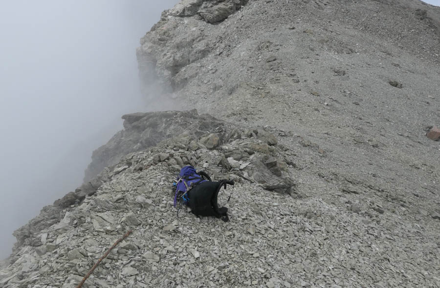
At the top. No photo of the ascent as it was damp misty white-out. Leaning just a wee bit on the gps. Given that the route guide is known for its terseness, a fair bit of gut feel also involved. At about 1700m, just as the slope picked up and my progress slowed to near zero, with the aid of crampons manage to pick my way up the firm scrubbed clean high spots. Then for the last quarter the snow starts and the rest is a piece of cake. The peak at the top of frame is 2009m Mt Scott.
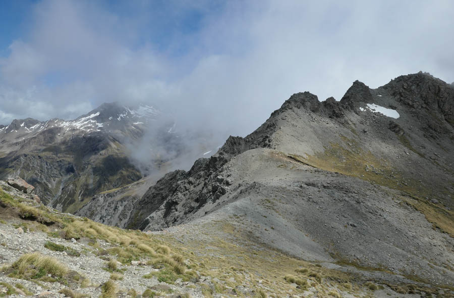
So this is the view over the other side. Looking into the Edwards.
Looking east along the Polar Range. This saw tooth shape is quite common on the Southern Alps alpine fault.
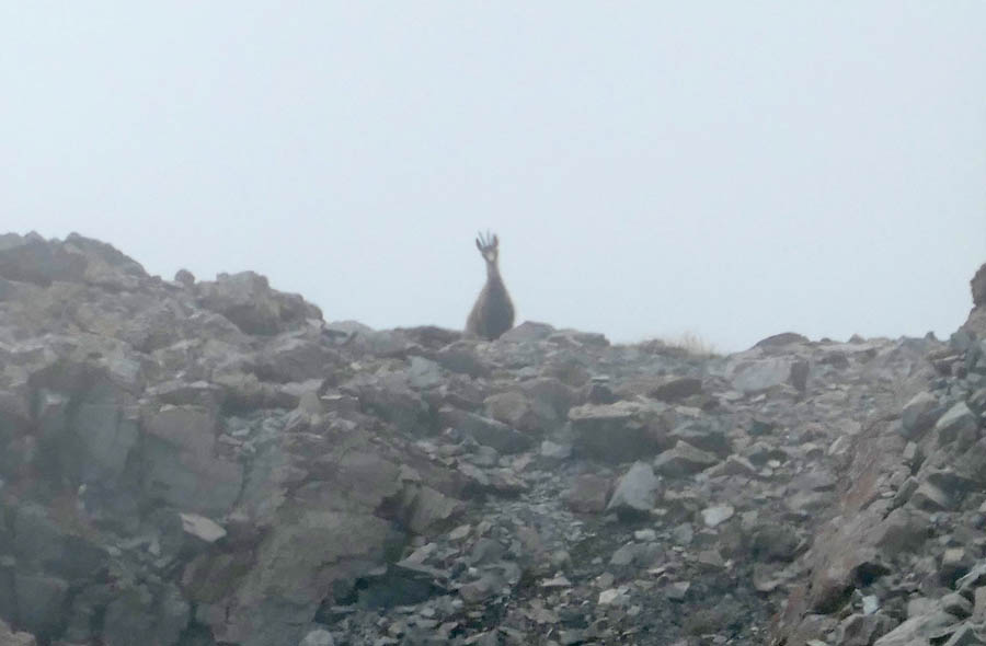
The country here is typical Arthurs Pass, sharp fractured rock in all directions. But away in the mist i spot something motionless but clearly organic, a pair of ears watching me. I had previously seen her tracks in the snow.
View from point 1937 looking towards Amber Col.
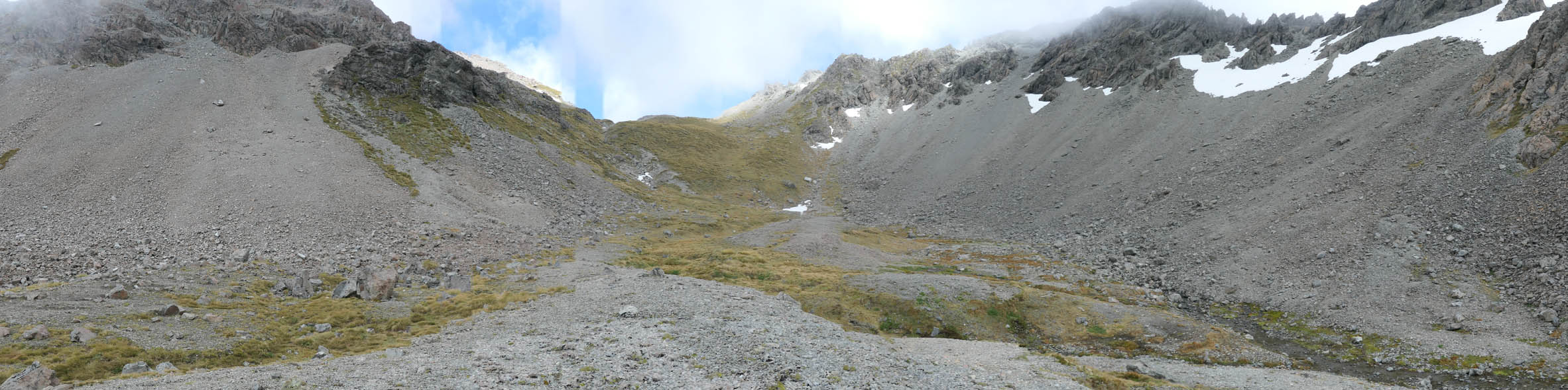
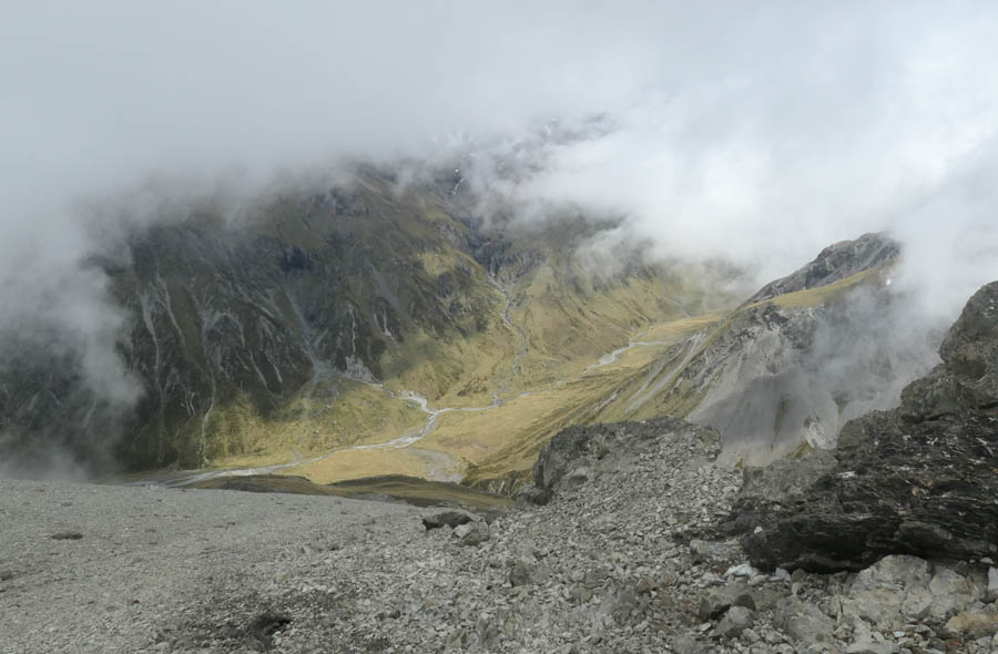
And descending mossy slopes to the right you arrive at the upper Discovery basin. This is 180 degrees flattened out.
The view into the Discovery.
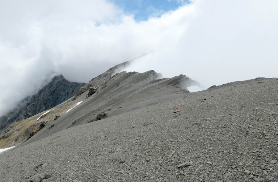
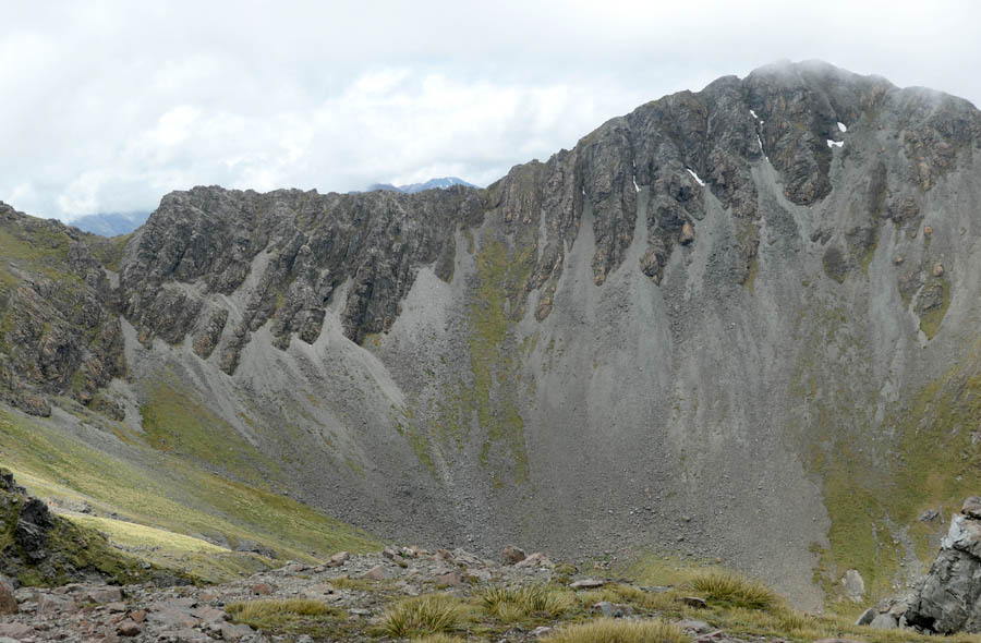
To escape the upper basin, you have to sidle right above a bluff, then drop down this 300m vertical scree. So glad i didnt have to climb that.
Which takes you to Brabyn's 'scree filled middle valley'.
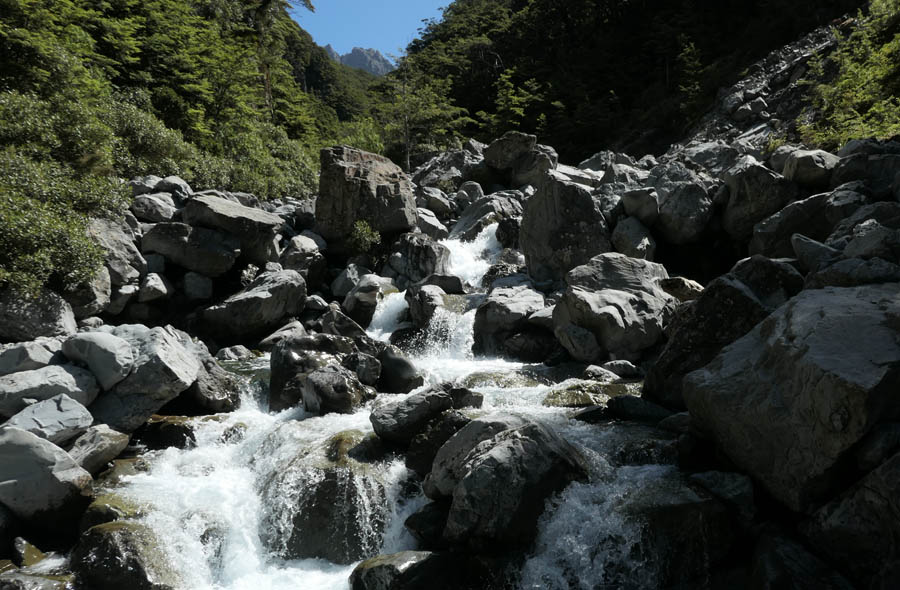
The guy must have meant another Discovery Stream when he said it was a pleasant boulder hop. After a 9 hour day, it is in fact pretty demanding.
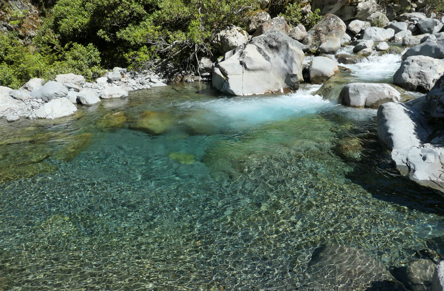
But there's some nice pools to cool off in.
Hawdon Hut is another new hut sited by geotech engineers. The words 'nice spot' dont really feature in their vocabulary. Its so high up the bank, it will never ever wash away. Not in a million years. But... there is a view up the valley. The park is pretty quiet over the Christmas period. Not many people at all. I guess they'll come after the boxing day sales.
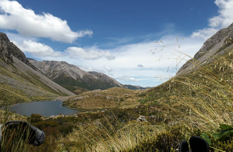
Another dawn start for a visit to Tarn Col. This is looking back down the valley after climbing towards Walker Pass.
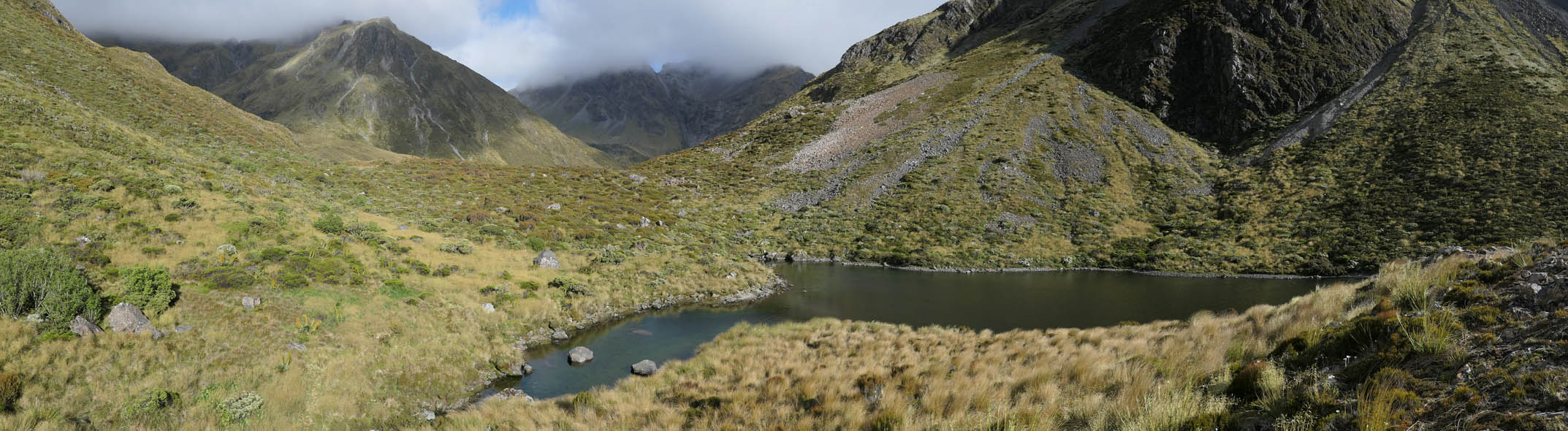
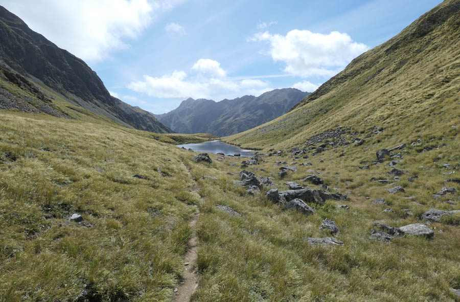
Walker pass and its pretty but unnamed tarn.
And the queen of the white flowers, the Mt Cook Buttercup Ranunculus (formerly known as the Mt Cook Lily). A few stray late specimens.
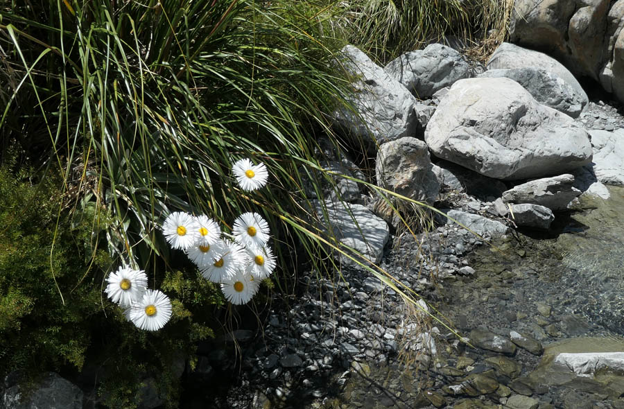
More daisies.
Another couple of hours west you arrive at Tarn Col. The route from Hawdon Hut is pretty well marked all things considered. At least by Arthur's Pass National Park standards.
And there is this view into the Edwards, and in particular Mt Oates and Brabyns route over from Lake Mavis into Taruahuna Pass. I do have photos some where of that trip.
Walker Pass from my rock bivy.
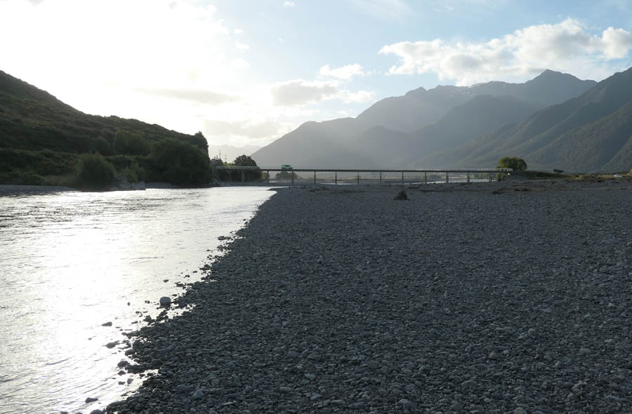
The Hawdon Shelter road was badly damaged by flooding last week. A much nicer spot to camp is by the river. White Bridge on dusk.
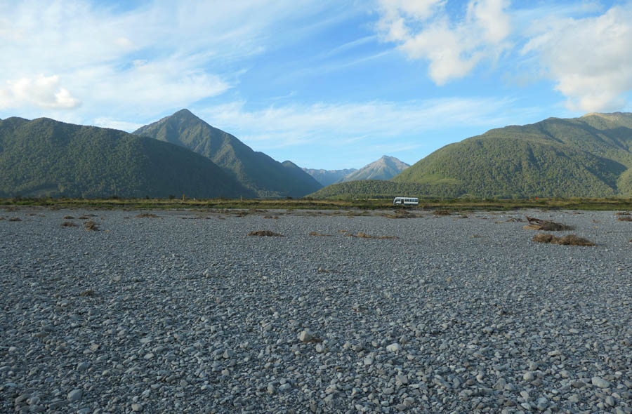
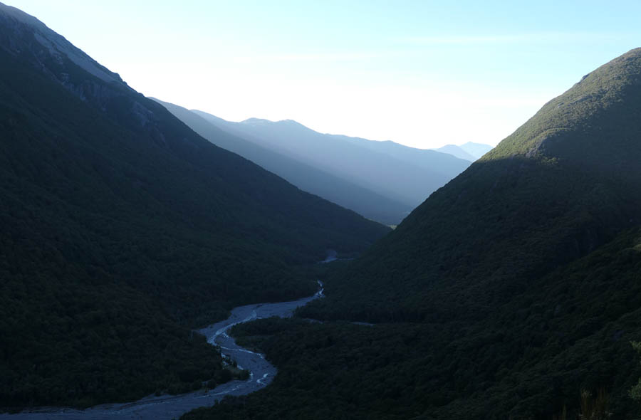
Looking back up the Hawdon, The Pyramid to the left. Back to civilization.
2019-01-07
www.zoneblue.nz/cms/page.php?view=sudden-valley


Summary
Pictures from a Arthurs Pass circuit of Sudden and Hawdon Valleys, late 2018.
Mountain Imagery
- South Island 2005
- Taranaki Landscapes
- Taranaki Landscapes 2
- Taranaki Landscapes 3
- Ruahine Landscapes
- Taranaki Landscapes 4
- Taranaki Landscapes 5
- Taranaki Landscapes 6
- Tongariro Landscapes 1
- Tongariro Landscapes 2
- Tongariro Landscapes 3
- Canterbury Landscapes 1
- Motatapu Track
- Pyramid Route
- Kiri Track
- Winter Round The Mountain
- Tongariro Landscapes 4
- Ruapehu RTM
- South Island 2017
- South Island 2017 B
- South Island 2018
- South Island 2018 B
- Molesworth
- Sudden Valley
- South Island 2019
- Mt Fyffe Traverse
- North Island 2020
