Motatapu Track
Years ago while tramping the Rees Dart, from a viewpoint high on the range, i looked down into the country out the back of arrowtown and saw a barren high country wasteland. It fascinated me and thought one day it would be good to do a trip up in there. That idea came true in july 2012, when the lad and I spent four days walking the Motatapu track from Wanaka to Arrowtown. Its not normally walked in winter, but we went prepared, with snowshoes and iceaxes.
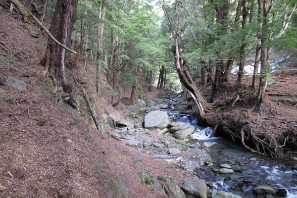
Expecting an utterly treeless land, it was a surprise to find trees right off, and clumps here and there in most of the valleys. I guess the area is capable of supporting forests.
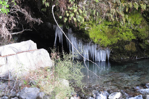
We should have known from the icicles 5 mins from the track start that we were entering a wintry land, and where the huts have no fires.
Once out of the forest the snow starts, and its a very dry, polystyrene like consistency. The first hut Fern Burn is located just right of center in the snow.
The huts are the new generation 12 bunk design, each one identical and each one tan colored, just like the landscape. Hacking a hole through the ice on top of the water tank to get water.
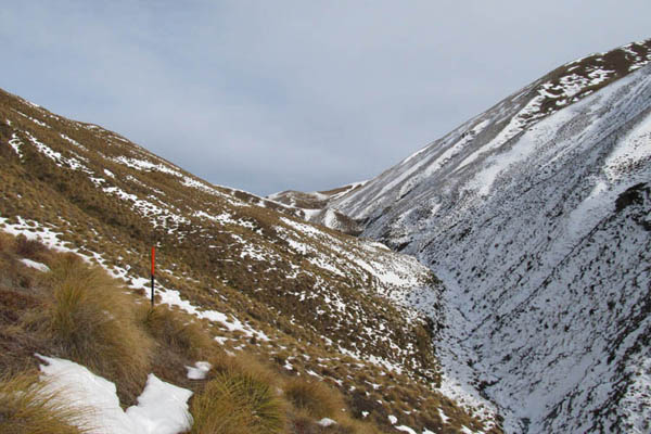
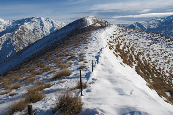
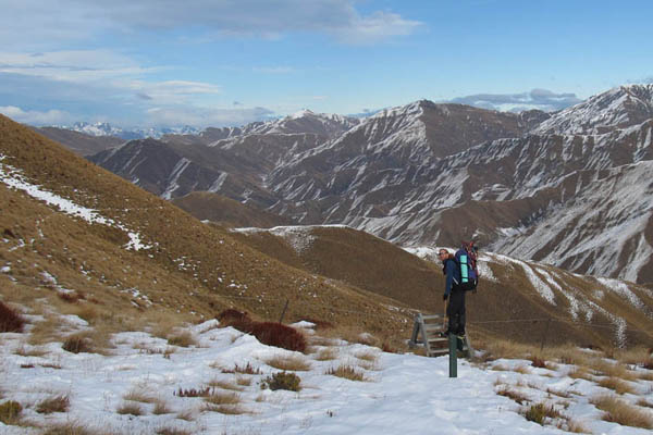
The route then climbs to Highland Jack saddle at 1200m. Theres a good ground trail underneath the snow, which makes easy going. It must be an old musterers route.
Nearly at the saddle.
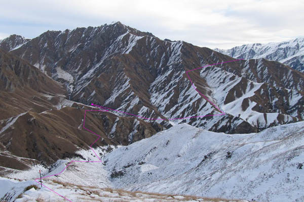
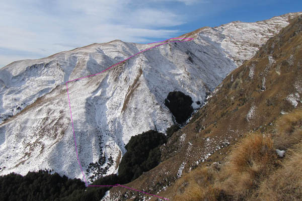
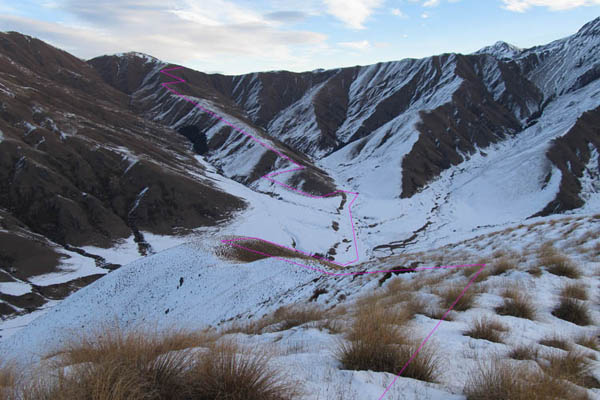
This is the view down the other side, and with the second days walk marked in pink. The route just seems to cut across the landscape with no discernible system. Musterers logic. Highland Creek Hut is approx at the square.
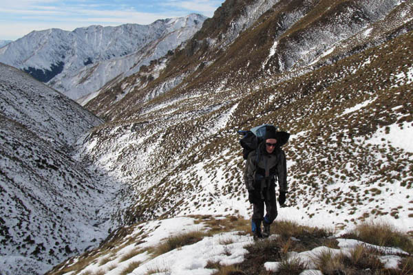
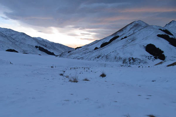
After a very steep and treacherously slippery descent on frozen earth covered by soft soft snow, we ploughed across the first of several snow filled gullys. In general there wasnt much snow, mostly south faces and valley bottoms.
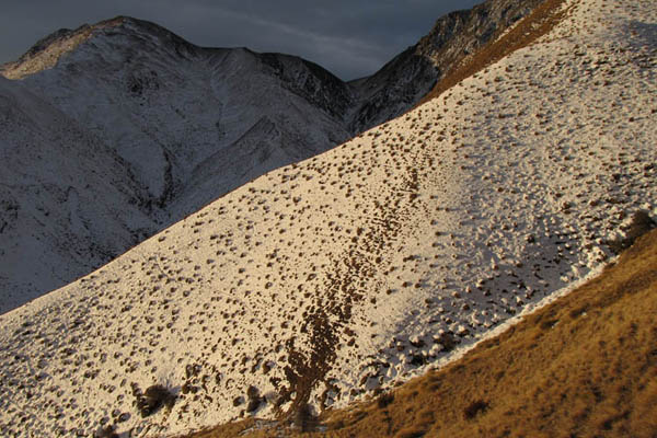
Depends which direction you looked as to whether the landscape was white or brown.
After 6 hours we were happy to see Highland Creek Hut, just on dusk, dead center. The days are short, and its pitch black at 6.15pm.
With a signposted leg of 7-8 hours for day 2 we depart at daybreak, calculating based on yesterdays progress about a 10 hour walk, involving two 1200m pass crossings.
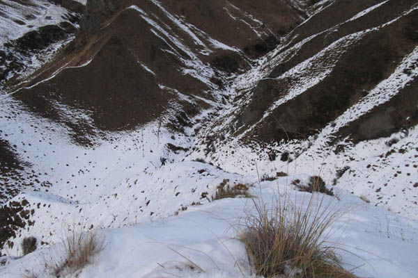
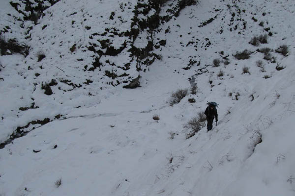
First off is another knarly gully crossing.

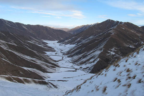
From the top of the ridge theres a good view of the Motatapu valley, giving away its active farming landuse.
Most of the ridgelines have relatively new fences, in various states of repair.
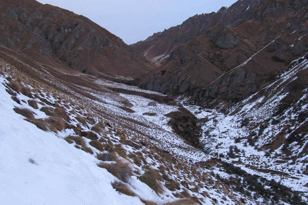
This shows the route where it leaves off from the previous pink line. Descends into a magical forest remnant.
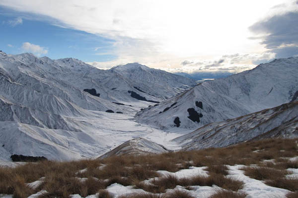
After climbing a second ridge, you get this view down into the Soho River.
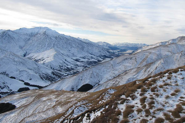
And looking back to Lake Wanaka.
Before dropping down to the flats we get this view of the route ahead tomorrow up over rose saddle. Rose hut is the blotch slightly right of center.
We flopped down on the deck to take off our boots to this view right on dusk. The leg taking us 9 hours, an hour better than expected. 1000m vertical up and down.
He must be shading his poor old eyes from the dazzling setting sun. Not.
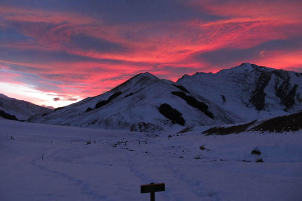
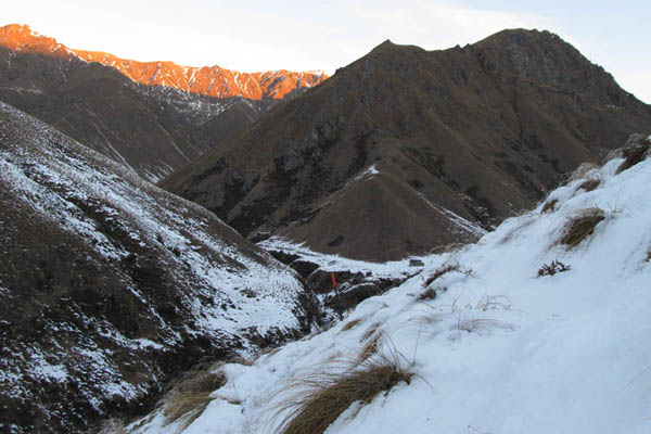
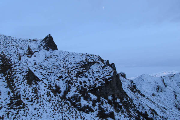
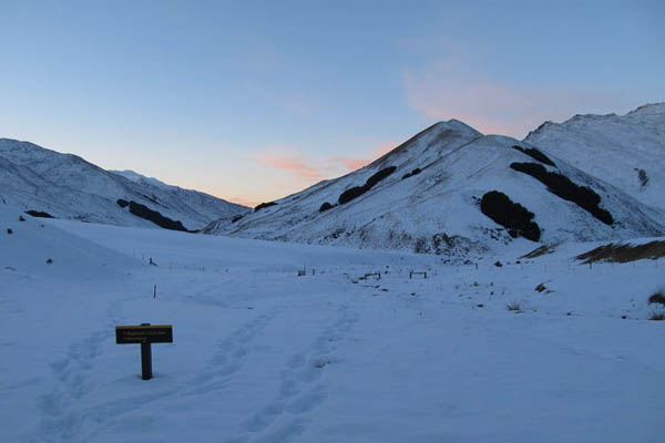
Red sky in the morning. Weather has held for four days, but looks to be on the change.
Again on the road at first light with a long day ahead. Theres no hut at macetown so we do two legs on the final day out.
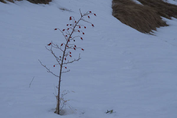
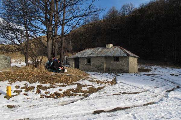
He liked this briar, one of many from which the hut probably gets its name.

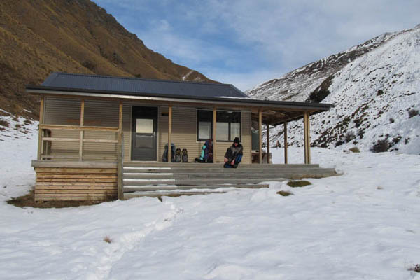
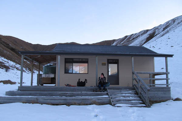
The huts are a bit soulless but Rose was our favorite.
Half way up the (another, the fourth) 1200m pass, following an old pack track, that zig zags its way up.
And the view from the top. Saying goodbye to the Motatapu.
Over the style south into the Arrow catchment.
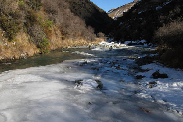
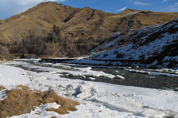
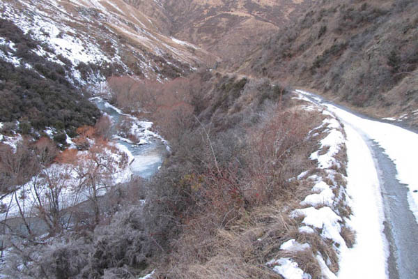
Where we walk along the river banks and sometimes even in the river itself. Our ice axes proved useful to haul ourselves out of the icy banks.
Around about 2.30 we arrived at historic macetown.
We spend a leisurely hour for lunch in the sun next to the old bakery.
At 3.30 we set off on the final leg to arrowtown, 15kms by 4wd track. We guessed about 4hours.
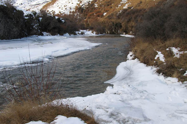
Some bits were easier than others. There were 10 river crossings, getting increasingly difficult because of the ice. In this photo the road emerges at lower right, crosses then restarts in the snow top center. Eventually we find a better vehicle track, swingbridges and a nice icy footpath into town.
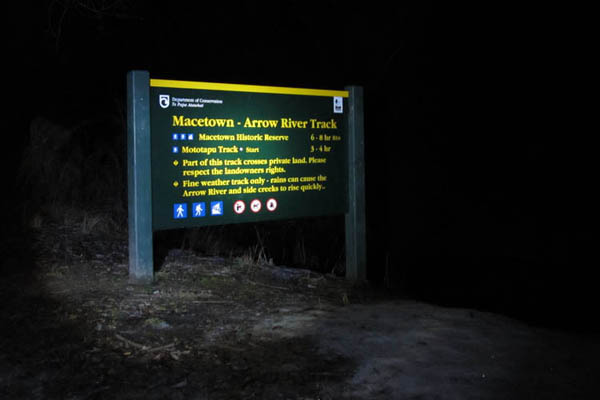
Arriving at 7.30pm, fair bushed, after dealing with the icy track by torch light. The signs also said the the track to macetown is difficult to impossible in the winter. We know.
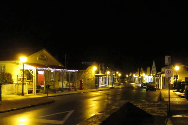
Our tooth fairy drops us bang in the middle of town where a nice lady about to close her pizza shop not only makes us pizza, but delivers it to the lodge. We made it phew, and all that was left was to get our selves on the bus back to wanaka at 7am.
Photos Index
- South Island 2005
- Taranaki Landscapes
- Taranaki Landscapes 2
- Taranaki Landscapes 3
- Ruahine Landscapes
- Taranaki Landscapes 4
- Taranaki Landscapes 5
- Taranaki Landscapes 6
- Tongariro Landscapes 1
- Tongariro Landscapes 2
- Tongariro Landscapes 3
- Canterbury Landscapes 1
- Motatapu Track
- Pyramid Route
- Kiri Track
- Winter Round The Mountain
- Tongariro Landscapes 4
- Ruapehu RTM
- South Island 2017
- South Island 2017 B
- South Island 2018
- South Island 2018 B
- Molesworth
- Sudden Valley
- South Island 2019
- Mt Fyffe Traverse
- North Island 2020
2013-07-12
www.zoneblue.nz/cms/page.php?view=motatapu-track


