South Island 2018 B
This series of images explore the Canterbury coast south of Banks Peninsular, and then out north west into Reefton and Karamea. The west coast weather is again kind, and sandlfyless.
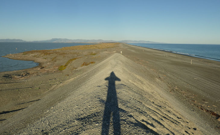
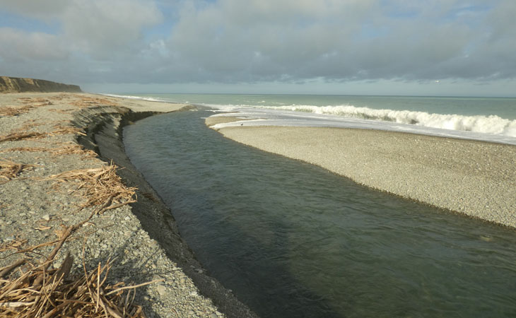
Curious what the lake outlet at Ellesmere looked like, you can get to it from the beach at Taumutu. There's a bit of a man made mountain from the outlet excavations. On the left is the lake, on the right is the Pacific.
There are a lot of shags and terns camping in this area as well.
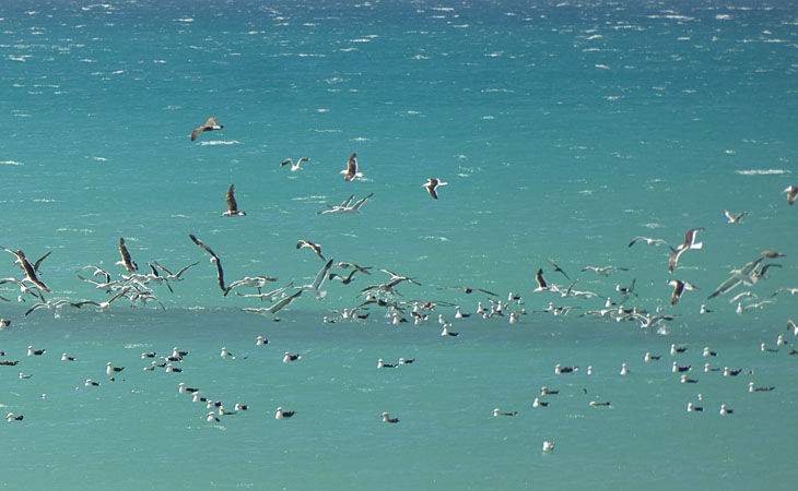
By way of a project to walk the coast southward, while the beach is fairly uniform in its long curving stoniness, there's still lots to see. This image is the sea being blackened by a large school of Kahawai.
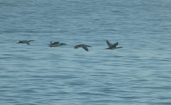
The image is almost like a motion study of bird flight. Shags (or Cormorants as they are called elsewhere) continue to fascinate me. There is a Maori proverb to the effect of fly straight, unswerving like the spotted shag (into battle).
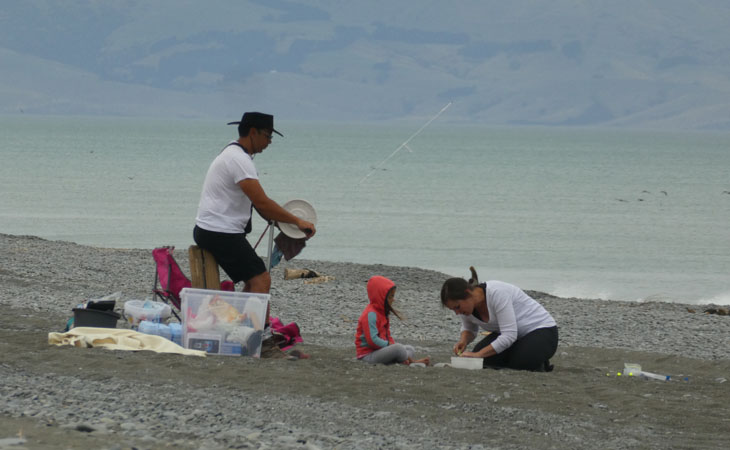
Another part of this project was talking to fisher people up and down the coast. This family of new immigrants had taught themselves to kite fish, from the internet, and i spent the lunar eclipse evening chatting with them. The 1500m nylon line goes to a 3-4kg weight, which then goes to both the kite, and the hooks. Getting the weight right is particularly tricky, being dependent on the wind strength.
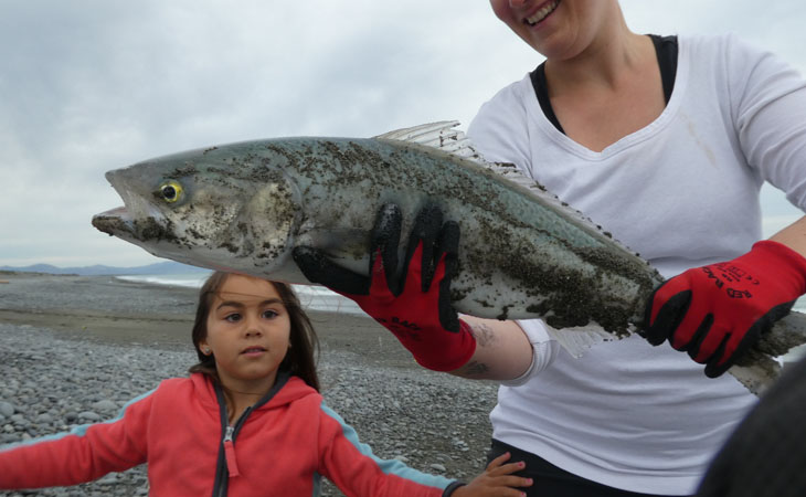
After the kite reached the target distance it was reeled straight back in. This took about half an hour all told. This good sized Kahawai was the result.
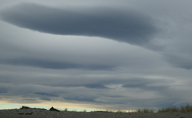
There is a reason why we hardly ever see lunar eclipses, perigee new moons usually bring bad weather. The most interesting thing we saw were these hogbacks.
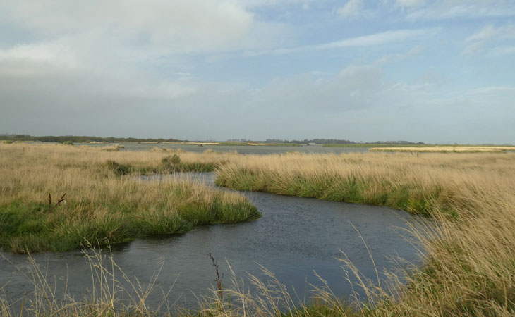
This whole coast was once a swamp, long since drained for the better part. Except for places like Coopers Lagoon.
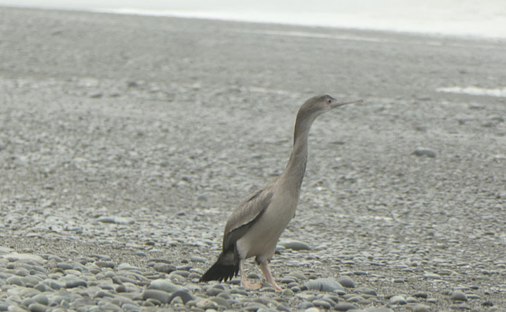
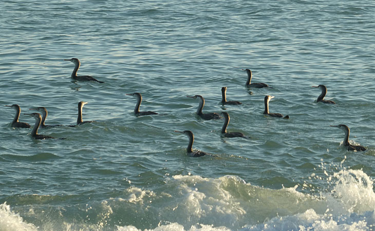
As you get closer to the shags they usually turn their backs to you and walk slowly toward the sea. Laying on ones belly and sneaking up on them does pay off eventually.
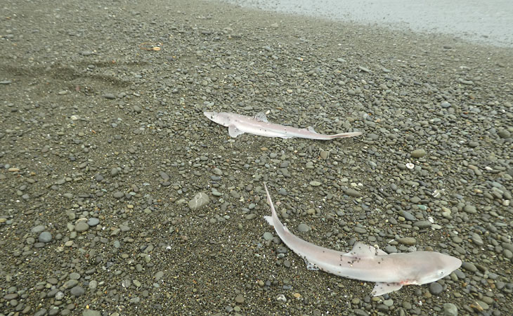
The fisherman like to catch Elephant fish, but what they most catch are Dogfish. Fish and chips. Distant relative of sharks.
As you walk south, most of the rivers drain to sea through man made pipes and culverts of various designs. Its these pipes that keep the farmland farmable. They have to be be built tough obviously to survive the pounding of the ocean.
Another view of Coopers Lagoon. Camping at the end of these dirt access tracks is very quiet, and elemental.
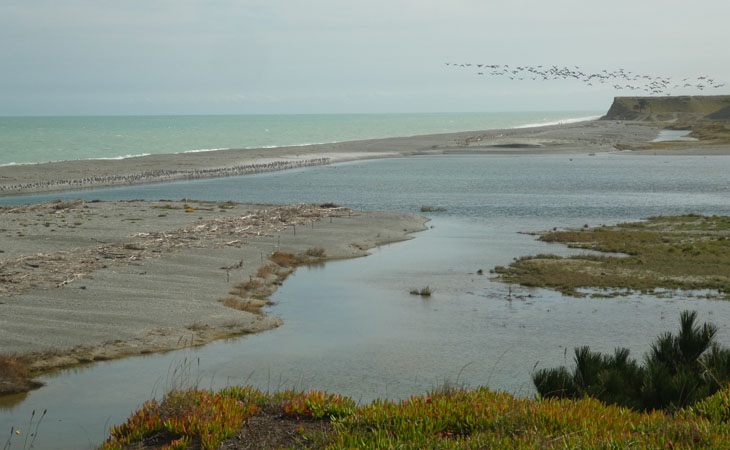
Further south you get to the Hakatere River mouth. This is a massive bird breeding ground. On the left spotted shags, probably thousands, and on the right in flight is canadian geese. But theres dotterals, terns and much else.
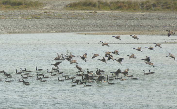
A large flock of canadian geese land in the pond that forms this side of the mouth.
As with many of the mouth sites, there's clusters of old fishing huts.
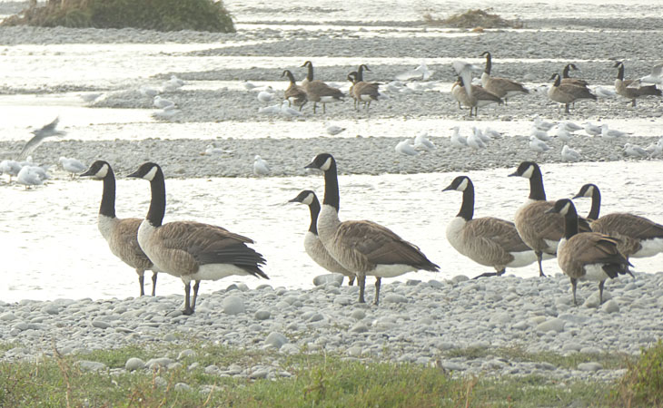
Elsewhere ive generally found canadian geese only in ones and twos, and somewhat shy. Not here.
The actual outlet forms a fast flowing channel that runs parallel to the beach.
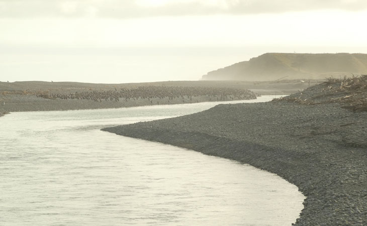
Looking back, this is about a good a view of the shag colony as we will get today.
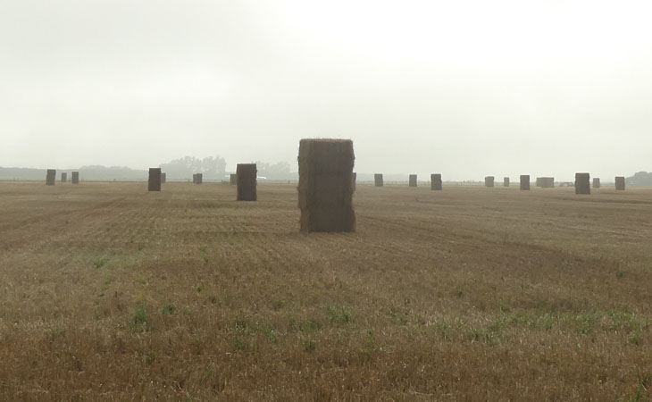
Of course its wheat harvest time...
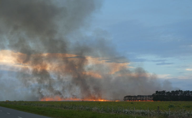
...and theres still enough of the old school farmers who still burn off their stubble. So close to Christchurch, and the prevailing wind headed exactly in that direction. Its a dramatic sight on dusk, and air is thick with it.
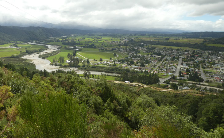
So, ready for a change of scenery i head to Reefton for a few days to explore old mining trails. The showgrounds are a great place to base out of it.
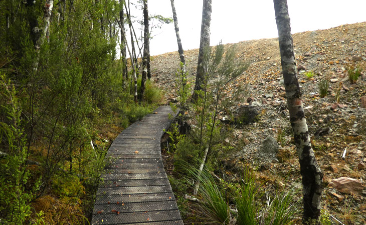
The tracks are well made, and excellent biking. However this one comes to an abrupt end at an open cast gold mine.
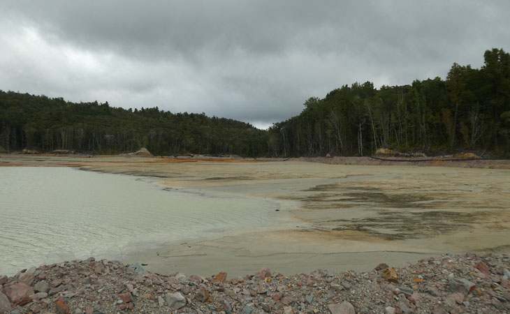
Tailings dam.
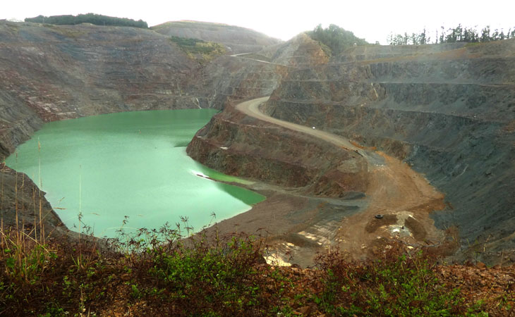
Main pit, from what i gather now pretty much worked out.
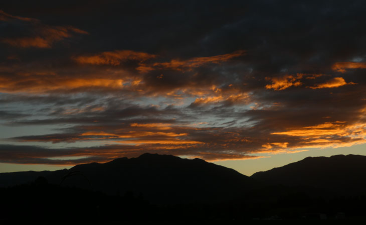
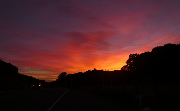
Random hill at sunset.
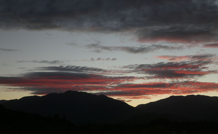
Same hill, 24 hours later.
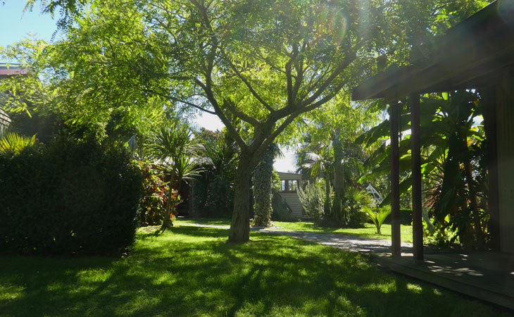
Wwoofing stop number one, a botanist and his subtropical paradise.
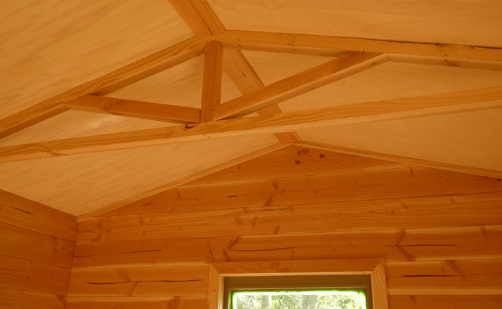
Some of the wood finishing i worked on.
Another random sunrise. Sigh, so many nice sunsets.
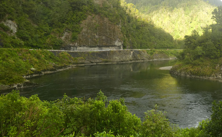
Buller gorge in all its dripping green desolateness.

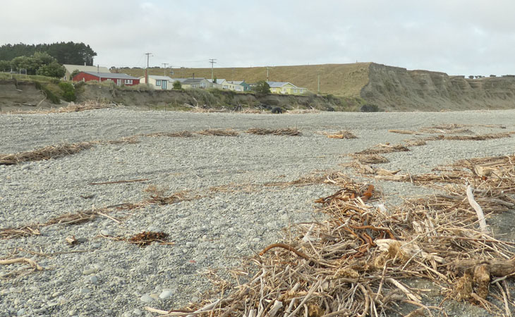
Arriving at Westport, which has to get the record for the longest main street. If you persevere you can locate the sea at the Buller mouth. Here a tug is checking out the swell at the bar. At the end of the breakwater there are many memorial plaques to sailors who lost their lives crossing this bar.
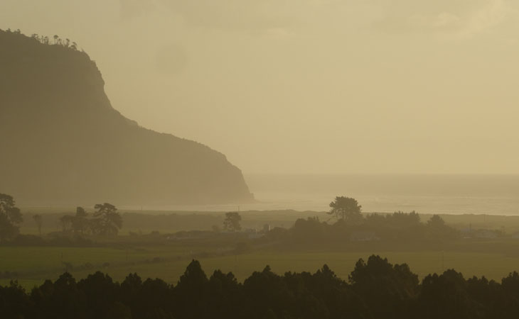
Looking north from the mouth, with a hint of what the Karamea region has to offer.
Wwoofing gig, number 2, dawn at Little Wanganui.

Bolt holes carved out of the forest, which the loggers have literally only just left. Subtropical, wet, and a pretty hard core local population.
The place i stayed is among a dozen newly subdivided lots tucked into the bush on the ridge at left.
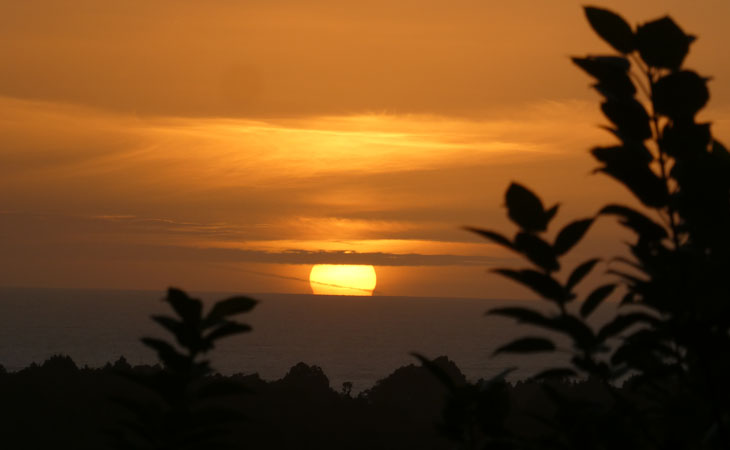
Now here is a true, sets in the west, sunset. Like you can only see right here on the coast.

Walking the Heaphy section of the Heaphy track turns out to be a real highlight of this trip. I mean its a "great walk "and they are quite sign happy, but its nonetheless spectacular. This is Scott's Beach.
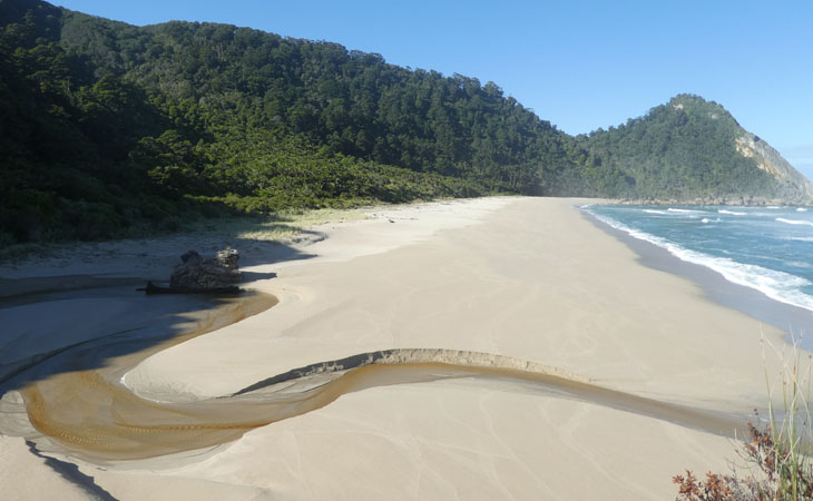
Same beach looking from the other end.
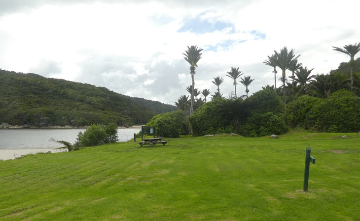
Heaphy Hut is the only tramping hut in the known universe that has its own golf green.
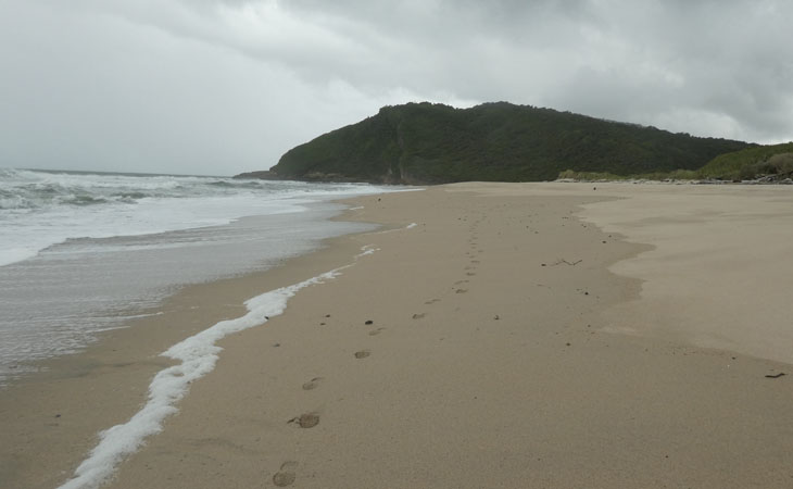
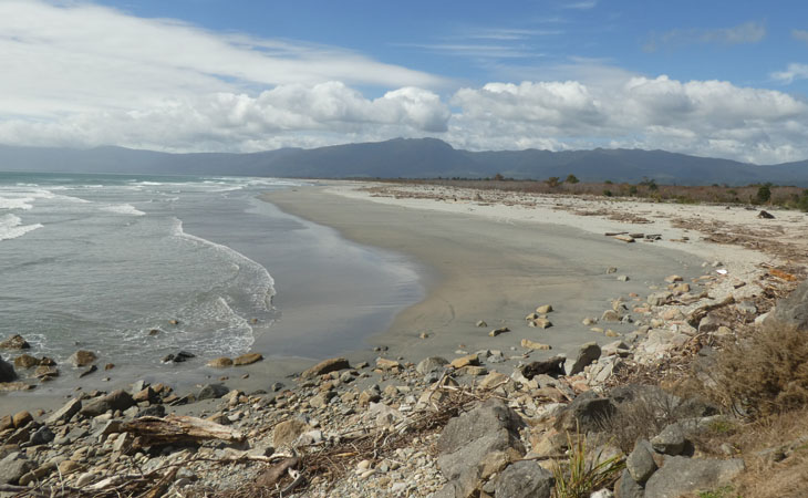
While the track is pretty good, but its enough up and down to abandon it, and return along the beach. The top half is easy going, and firm underfoot. All round nicer than the track. Heaphy Beach shown here just south of the Heaphy mouth. Just walk from the hut to the river, then the sea and turn left. You cant miss it.
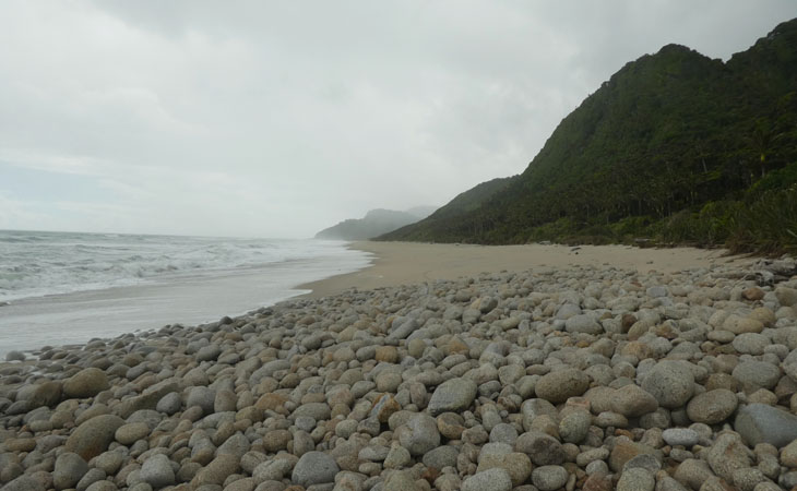
This is the home of Karamea Granite, with its white, black and apricot hues.
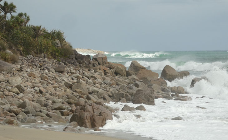
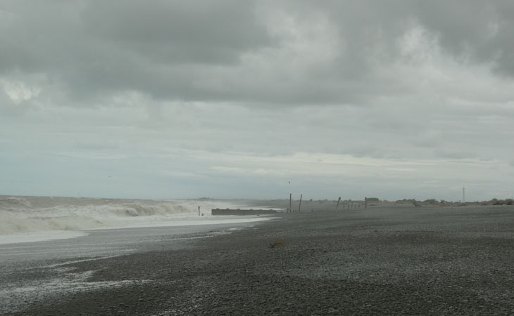
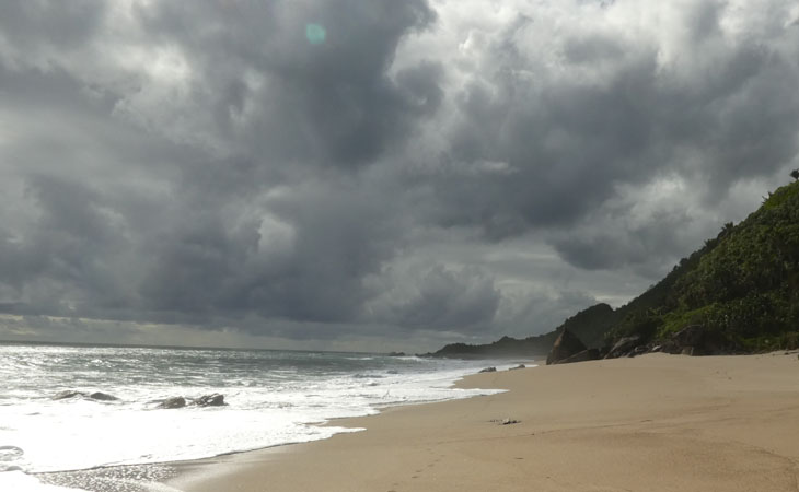
The sea is both calm and rough all in one day.
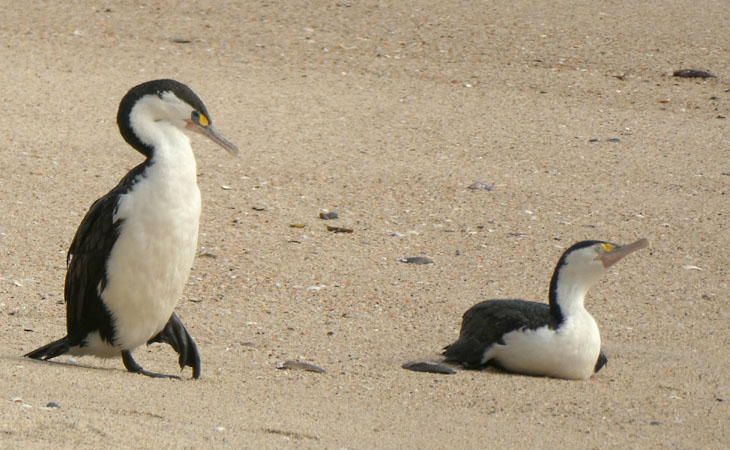
There are small groups of Pied Shags on the beach.
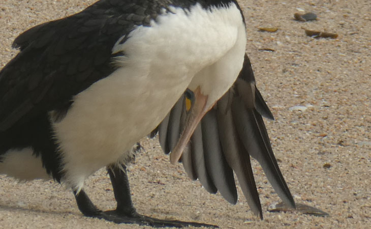
With them being quite obsessed with their grooming, you are more likely to catch odd feathers-ruffled shots like this than, nice head up poses.
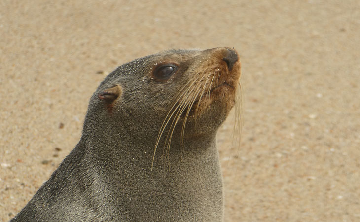
And just when i thought there weren't any seals on the beach, i almost trip over this little guy, his bark snapping me out of my daydream. Seems to have a busted back flipper.

Nikau lushness.
The weather just holds it together long enough to get back, 35kms later, a tad sore in the shins.
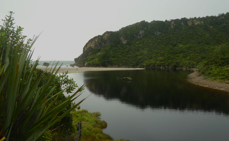
Finally the mouth at Kohaihai.
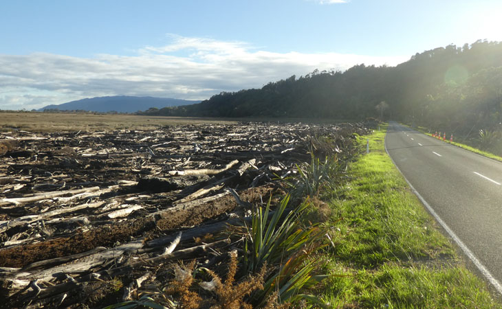
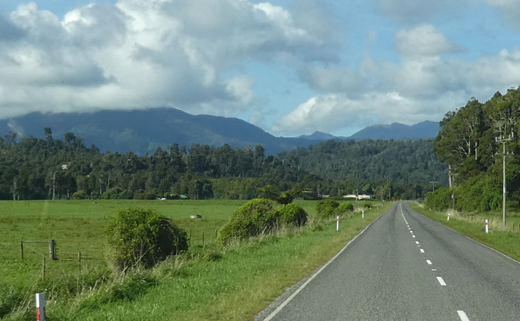
This is the coast road near Karamea. That storm, Gita, i think it was, washed a lot of drift wood over the road.
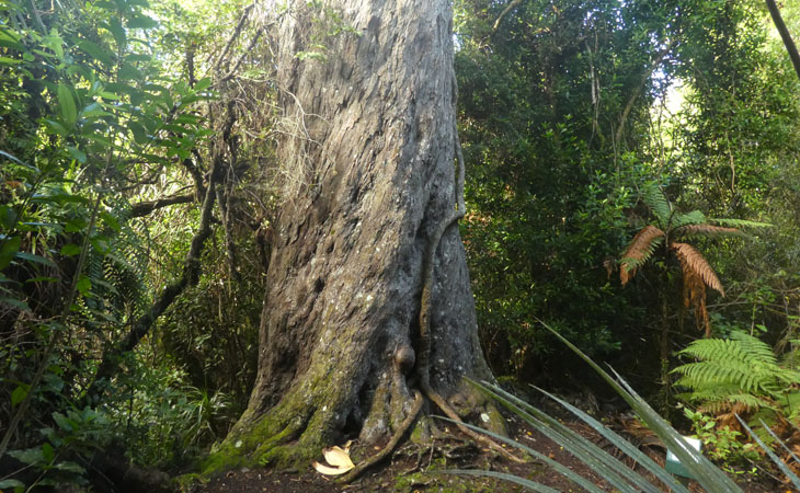
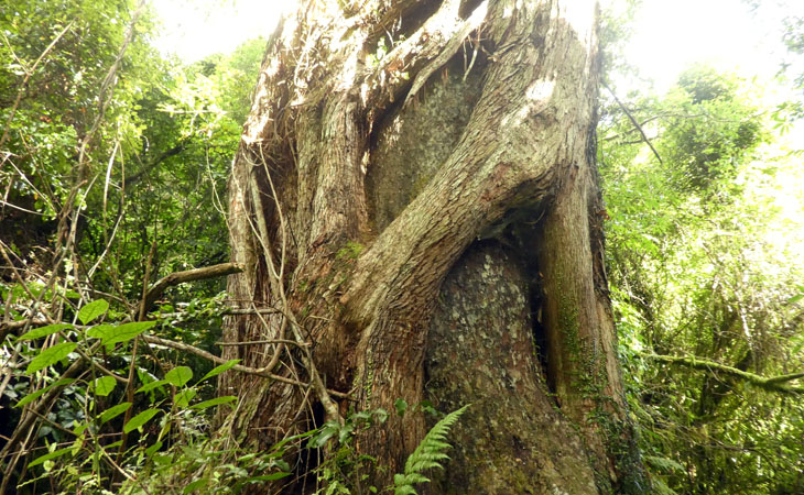
So efficient were the loggers, that nowhere on the coast, can you today find any unlogged lowland podocarp remnants. There is however one tree. Yup one tree. It doesn't have a name, there's just a sign post saying "Big Rimu Tree" 30mins. You know me, i have a softspot for Rimu. This one is believed to be 1000 years old. 2m girth, 37m height.
On my next day off i explore the Oparara Basin. The road is "not suitable for campervans". But hey, it didnt say they were prohibited. The road is a typical doc maintained road, 16km of gravel, one and a half lane most of the way with some pretty fearsome corrugations. But really, who in their right minds would ever have built a road out there? Loggers!
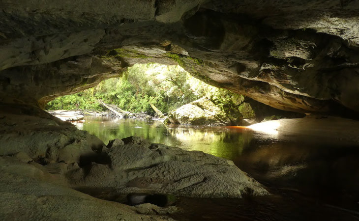
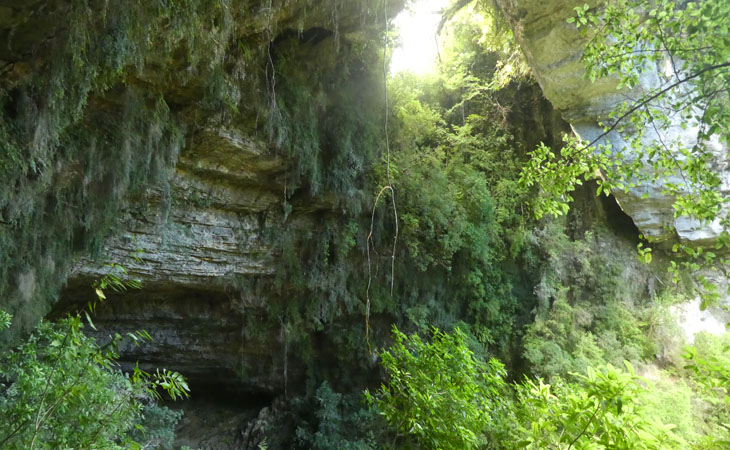
The Moria Gate Arch is in my opinion the highlight. Its just so very photogenic especially in the morning light.
The track in has apparently a sign saying no mountain bikes, but alas i did not see it. Oh dear, breaking all the rules today.
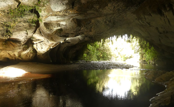
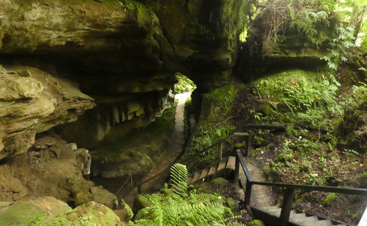
Its a natural limestone tunnel that the river flows through, as is also common in the Waitomo area.
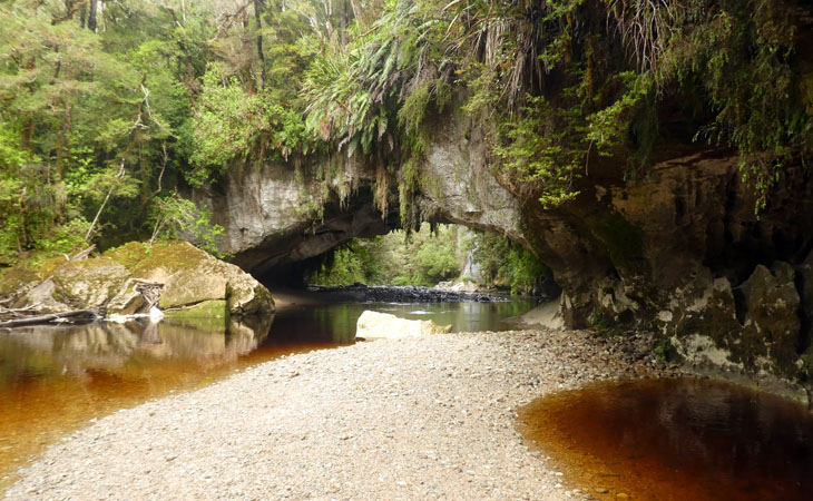
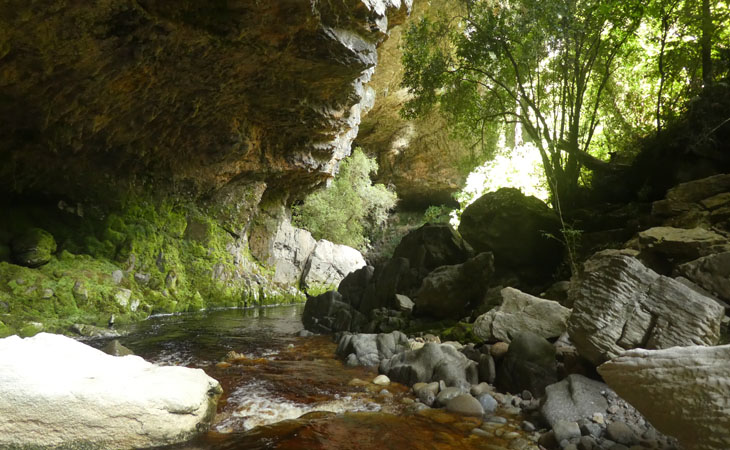
But here they have orange rivers... I mean cool right?
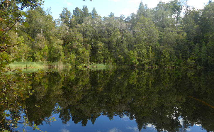
Mirror lake is also quite good. I guess the dark tannin stained water makes for good reflectivity.

This water plant covered limb caught my eye there.
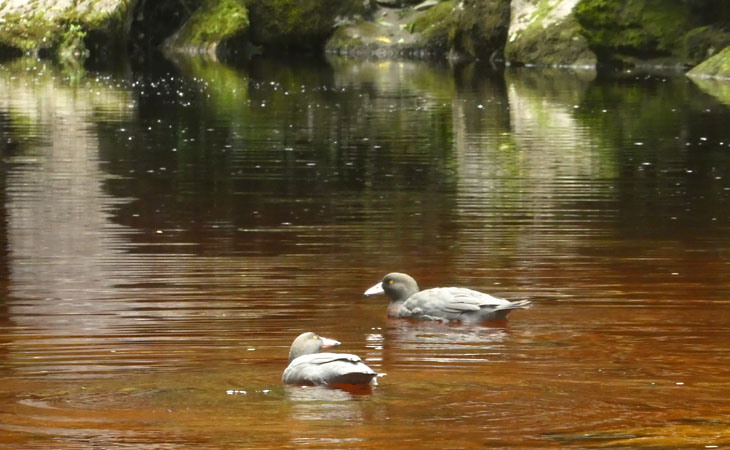
As with the seal, in such a busy area, blue ducks were the last thing i was expecting to see. Over the years i've probably seen 2 or 3 dozen blue ducks, all in remote mountain streams, and they are normally fairly shy. But i almost stepped on this pair.
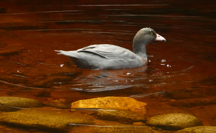
The blue duck population is believed to be under 1300 pairs, with a male heavy population. That makes them more endangered that the Kiwi. And, Kea are now in the exact same boat.
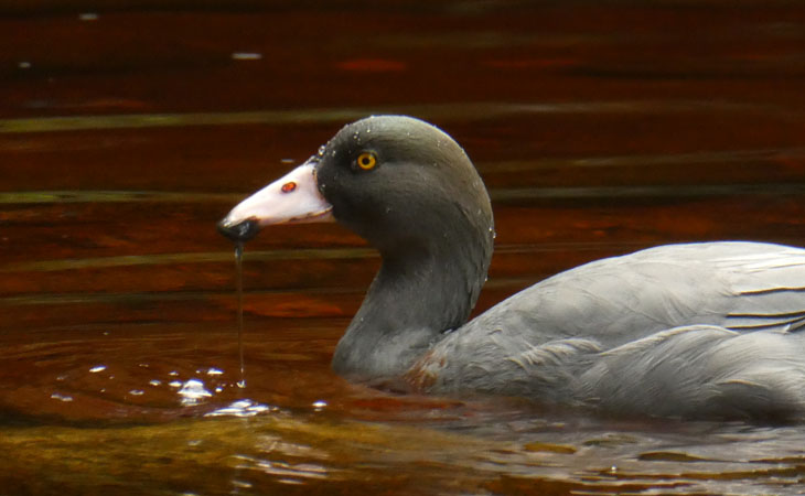
These are definitely my closest pictures to date.
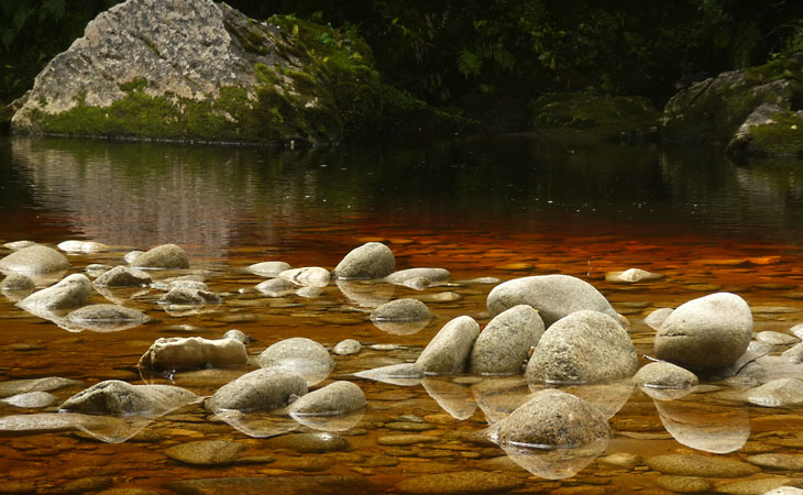
Orange water, granite boulders. Kinda groovy in its own peculiar way.
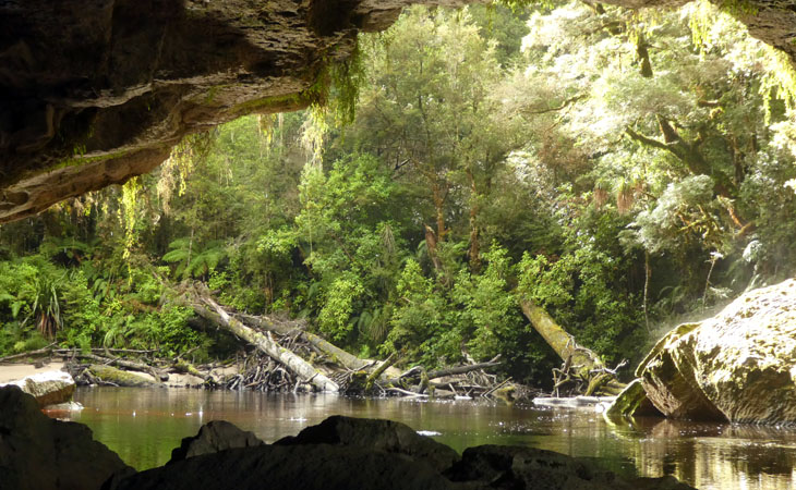
This is the entrance to the main Oparara Arch. Its bigger and longer, but harder to get a good view of.
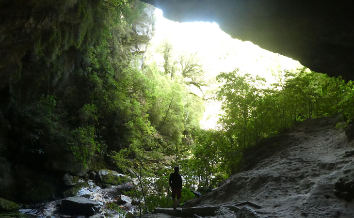
Looking back at the entrance.
And if you wade through to the exit, its kind of, well wet.
Last stop is the caves. Take a torch and see how far in you feel like going.
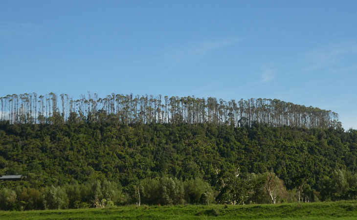
The Karamea forest looks and feels logged. With spindly stragglers sticking up hear and there. The north west coast was systematically and relentlessly stripped. Pillaged is the word that comes to mind. During the fortnight that i spent in the area, the sounds of chainsaws and bulldozers were a constant feature of the landscape. Logging may have officially stopped, but the practice lives on the minds of the locals. Its in their blood.
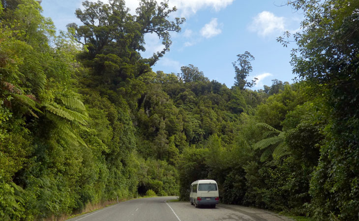
Heading back over the barrier that is the Karamea Bluffs hill, (which makes the Takaka hill look like a bump, and makes getting to Jackson feel like a walk in the park)...
...there is one last signpost, "Big Matai". And its Rata companion.
2018-04-01
www.zoneblue.nz/cms/page.php?view=south-island-2018-b


Summary
Late summer, early autumn in Canterbury and the northwest.
Mountain Imagery
- South Island 2005
- Taranaki Landscapes
- Taranaki Landscapes 2
- Taranaki Landscapes 3
- Ruahine Landscapes
- Taranaki Landscapes 4
- Taranaki Landscapes 5
- Taranaki Landscapes 6
- Tongariro Landscapes 1
- Tongariro Landscapes 2
- Tongariro Landscapes 3
- Canterbury Landscapes 1
- Motatapu Track
- Pyramid Route
- Kiri Track
- Winter Round The Mountain
- Tongariro Landscapes 4
- Ruapehu RTM
- South Island 2017
- South Island 2017 B
- South Island 2018
- South Island 2018 B
- Molesworth
- Sudden Valley
- South Island 2019
- Mt Fyffe Traverse
- North Island 2020
